
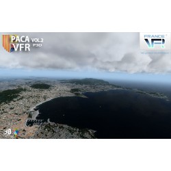
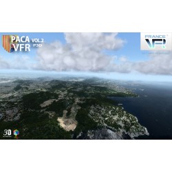
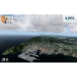

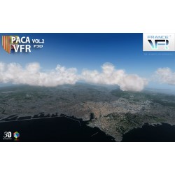
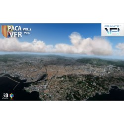
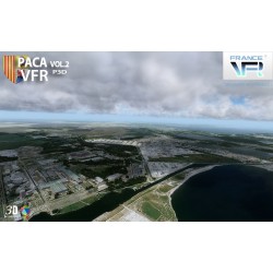

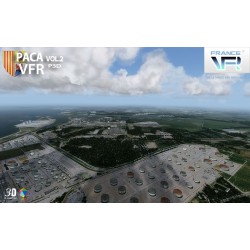
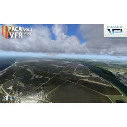
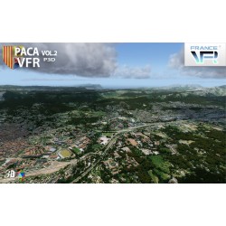
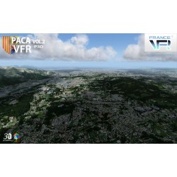
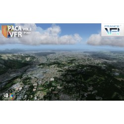
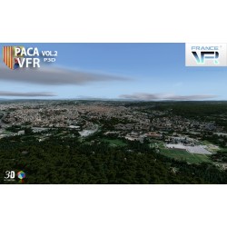
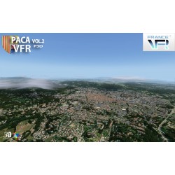
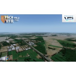
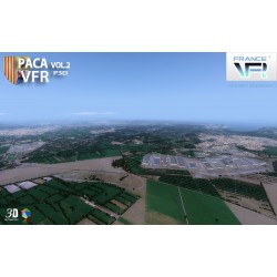

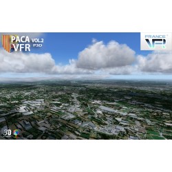
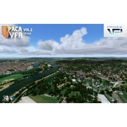


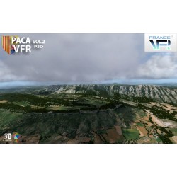
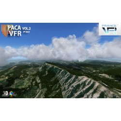
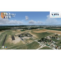
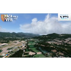
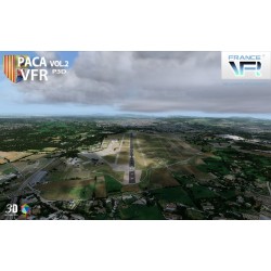
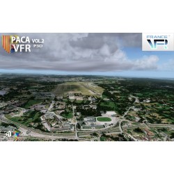
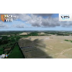
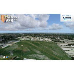
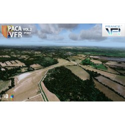

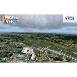
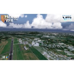
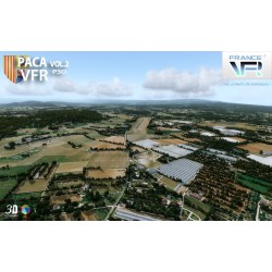
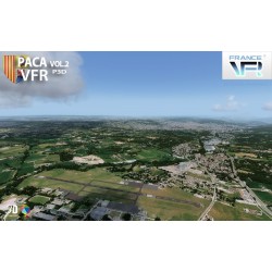

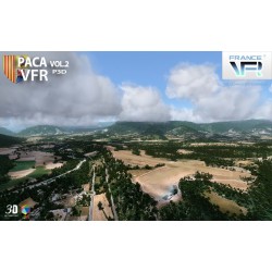
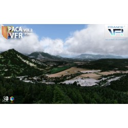

Photo-realistic scene representing the west of the Provence-Alpes-Côte d'Azur region in high definition textures of 1 meter / pixel, very high definition mesh 4.75 meters, full autogen and 3D coverage, numerous objects and VFR landmarks ( lighthouses, bridges, ports, anchorages, wind turbines, pylons, monuments ...), detailed port areas.
“VFR Regional” products benefit from all the contributions of 3DAutomation® technology developed by France VFR.
This technology enables the most dense and realistic environments ever designed for FSX / P3D to be implemented. It does not claim to represent reality precisely but to give it the most realistic possible interpretation on a very large scale. It may eventually evolve to adapt to needs and to the new data available. Seabed modeled over the entire scene.
Data sheet
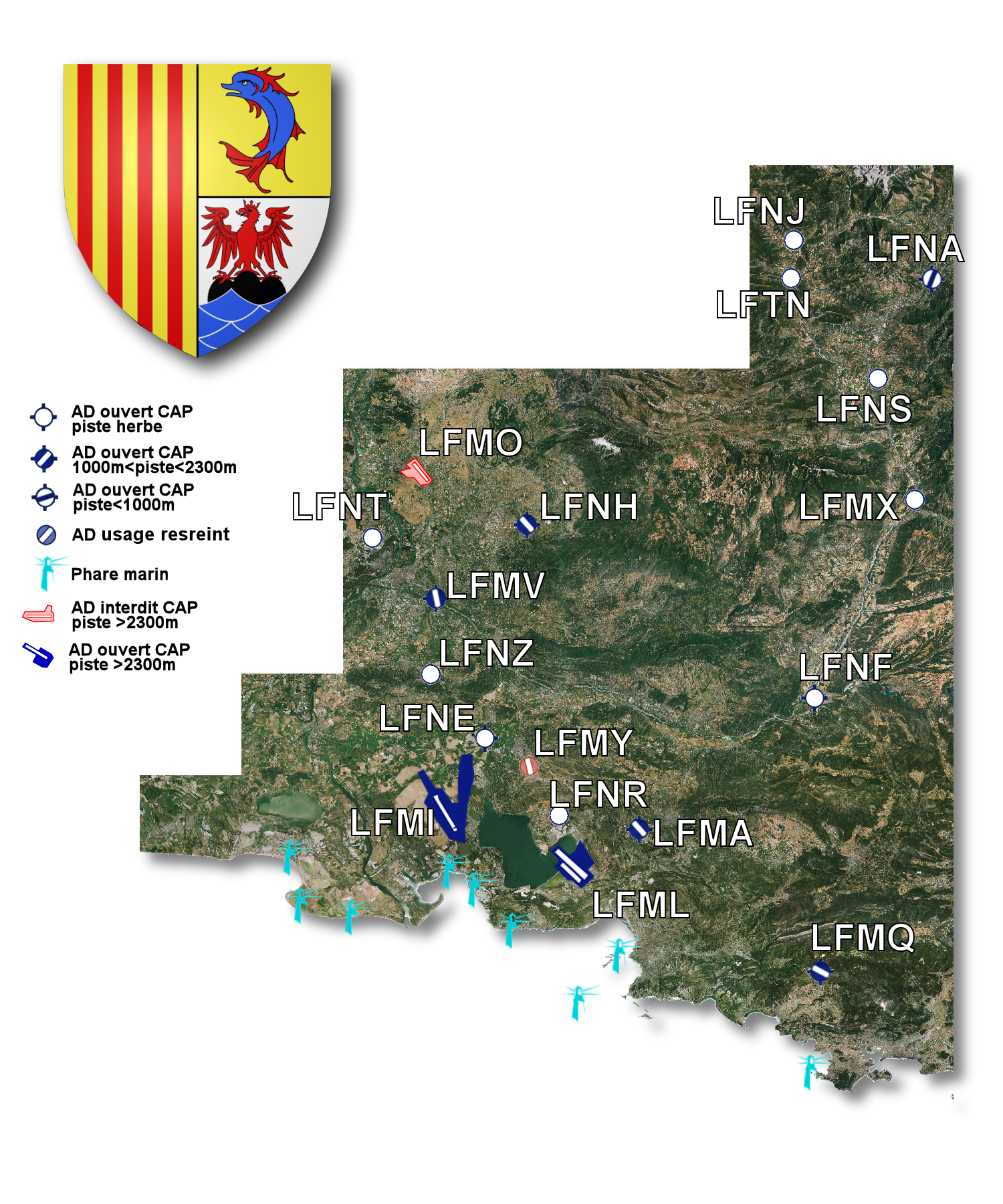
Here is the scene coverage map as well as the various aerodromes / airports / ULM bases.
You might also like
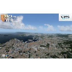
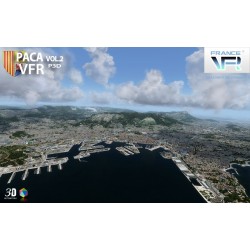
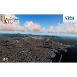
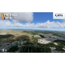
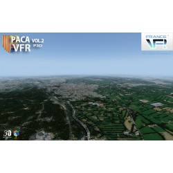
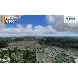
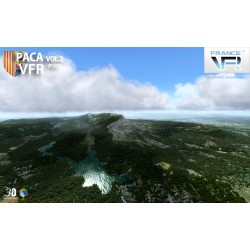
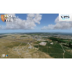
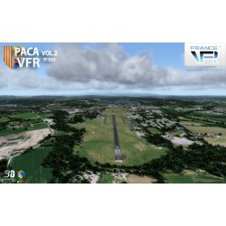
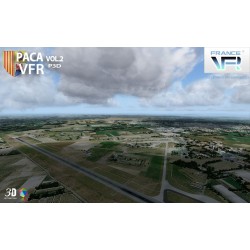
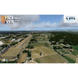
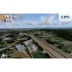
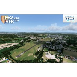
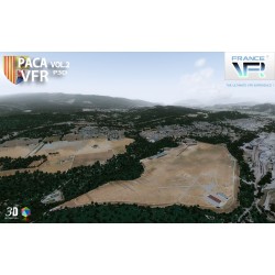
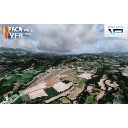
Photo-realistic scene representing the west of the Provence-Alpes-Côte d'Azur region in high definition textures of 1 meter / pixel, very high definition mesh 4.75 meters, full autogen and 3D coverage, numerous objects and VFR landmarks ( lighthouses, bridges, ports, anchorages, wind turbines, pylons, monuments ...), detailed port areas.
“VFR Regional” products benefit from all the contributions of 3DAutomation® technology developed by France VFR.
This technology enables the most dense and realistic environments ever designed for FSX / P3D to be implemented. It does not claim to represent reality precisely but to give it the most realistic possible interpretation on a very large scale. It may eventually evolve to adapt to needs and to the new data available. Seabed modeled over the entire scene.