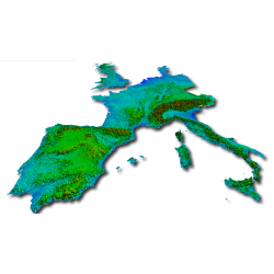
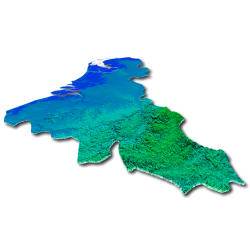
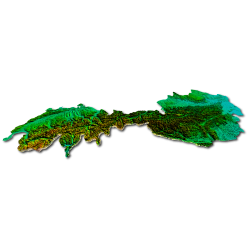
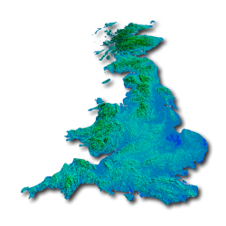
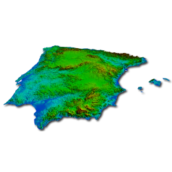
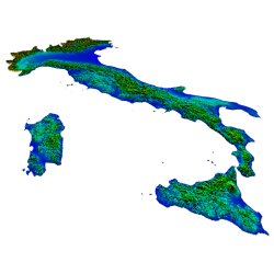
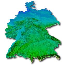
TERRAIN MESH
Mesh-type sceneries contain terrain mesh data that will determine the shape of the terrain. NEXTMesh products have the highest precision that is on the scale of a country, ie 4.75 meters of horizontal resolution which allows a reproduction of the terrain particularly faithful to reality.
Each product in this range systematically offers an automated installation program that detects the simulator's location and copies the files to the correct locations, automatically declaring the scenery when necessary, making product installation simple and accessible to everyone!