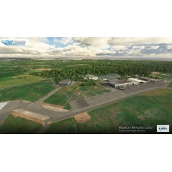
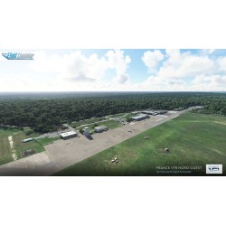
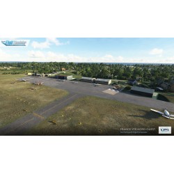
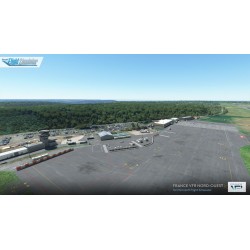
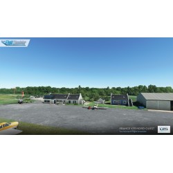
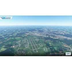
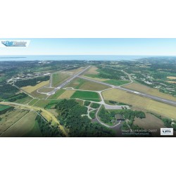
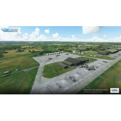
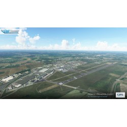
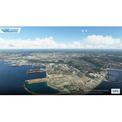
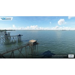
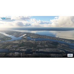
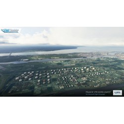

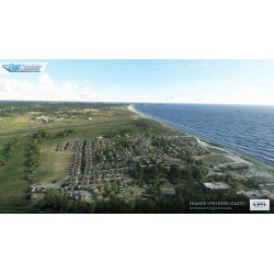
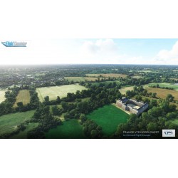

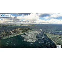
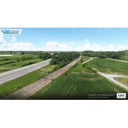
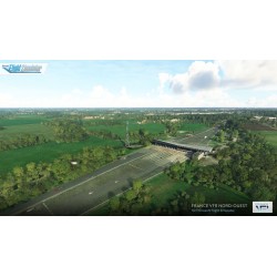
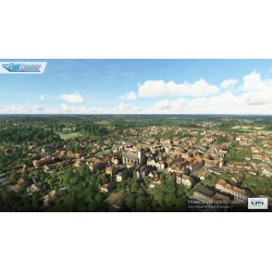
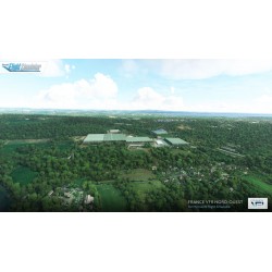
France VFR North-West MSFS is a pack bringing together in a single product all the elements and infrastructures necessary for practicing VFR flight in the North-West area of France.
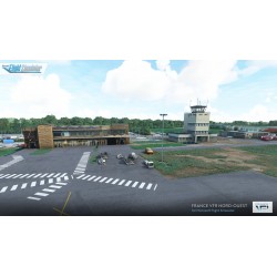
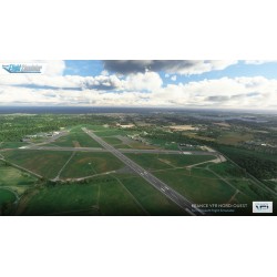
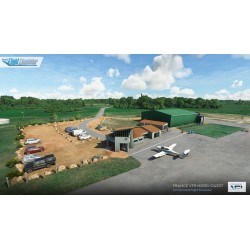
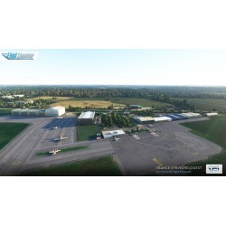
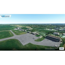
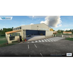
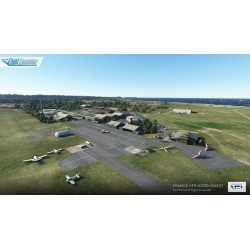
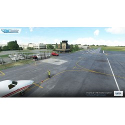
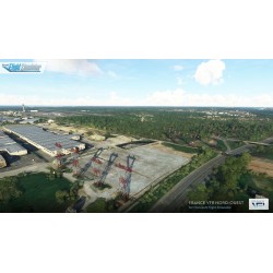
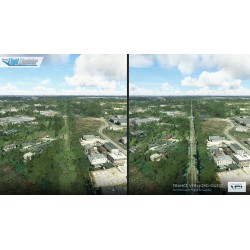
The scenery features over 30 airports and airfields including photo-realistic buildings, extremely detailed ground textures and markings, entire fleets of static flying club planes and reworked vegetation placed with the utmost precision.
Data sheet
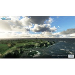
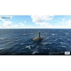
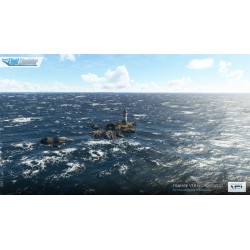
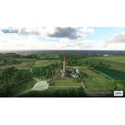
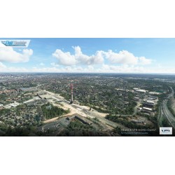
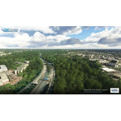
The airports and airfields are of course not the only components of the product! You will also be able to enjoy a large number of remarkable objects, obstacles and VFR landmarks referenced by the SIA (Aeronautical Information Service), reworked ground textures and vegetation, the high voltage pylons network, thousands of wind turbines, castles, churches and many others things...
Our goal for our airports product ranges is above all to offer mixed IFR/VFR platforms offering the best possible compromise between homogeneity, visual rendering and search for realism while offering very attractive prices through "bundles" grouping several airports in one package.
PRODUCT FEATURES
AIRPORTS & AIRFIELDS LIST
LFAB : Dieppe Saint-Aubin
LFOV : Laval Entrammes
LFAE : Eu Mers - Le Tréport
LFRC : Cherbourg - Manche
LFAL : La Flèche Thorée-les-Pins
LFRD : Dinard - Pleurtuit - Saint-Malo
LFAU : Vauville
LFRF : Granville - Mont-Saint-Michel
LFEA : Belle-Ile-en-Mer - Bangor
LFRG : Deauville - Normandie
LFEB : Dinan Trélivan
LFRH : Lorient - Lann-Bihoué
LFEC : Ouessant
LFRI : La Roche-sur-Yon - Les Ajoncs
LFED : Pontivy
LFRJ : Landivisiau
LFEQ : Quiberon
LFRM : Le Mans - Arnage
LFES : Guiscriff Scaër
LFRO : Lannion
LFEY : Ile d'Yeu
LFRT : Saint-Brieuc - Armor
LFJR : Angers marcé
LFRU : Morlaix - Ploujean
LFOD : Saumur Saint-Florent
LFRV : Vannes - Meucon
LFOE : Evreux-Fauville
LFRZ : Saint-Nazaire - Montoire
LFOO : Les Sables d'Olonne - Talmont
LFTQ : Châteaubriant - Pouancé
LFOS : Saint-Valéry Vittefleur
LFRW : Avranches Le-Val-Saint-Père
France VFR North-West MSFS is a pack bringing together in a single product all the elements and infrastructures necessary for practicing VFR flight in the North-West area of France.
The scenery features over 30 airports and airfields including photo-realistic buildings, extremely detailed ground textures and markings, entire fleets of static flying club planes and reworked vegetation placed with the utmost precision.