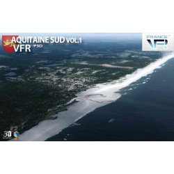
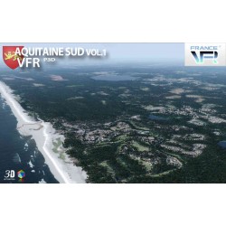

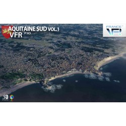
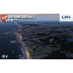
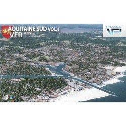
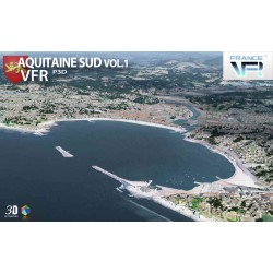
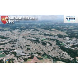
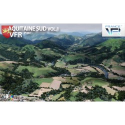
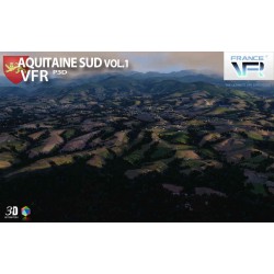
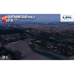
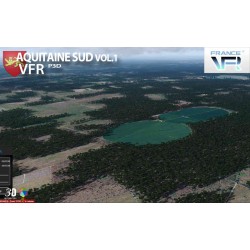
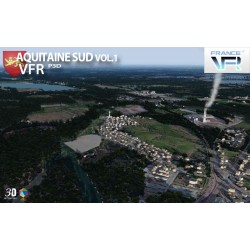
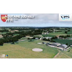
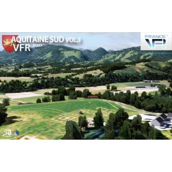
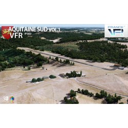
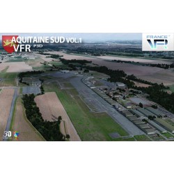
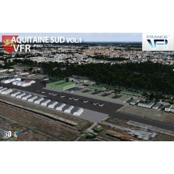
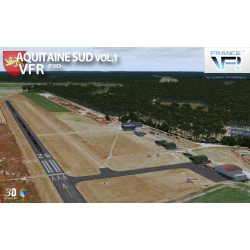
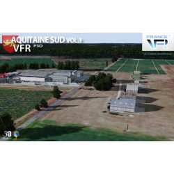
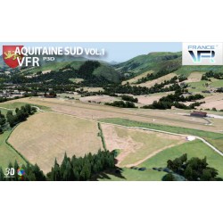
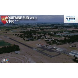
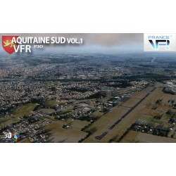
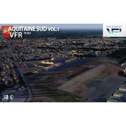
Photo-realistic scene representing the South Aquitaine region in high definition textures of 1 meter / pixel, very high definition mesh 4.75 meters, full autogen and 3D coverage, numerous objects and VFR landmarks (lighthouses, bridges, ports, anchorages, wind turbines, pylons, monuments ...), extremely detailed port areas. “VFR Regional” products benefit from all the contributions of 3DAutomation® technology developed by France VFR. This technology already makes it possible to implement the most dense and realistic environments ever designed. It does not claim to represent reality precisely but to give it the most realistic possible interpretation on a very large scale. It may eventually evolve to adapt to needs and to the new data available. Seabed modeled over the entire scene.
Data sheet
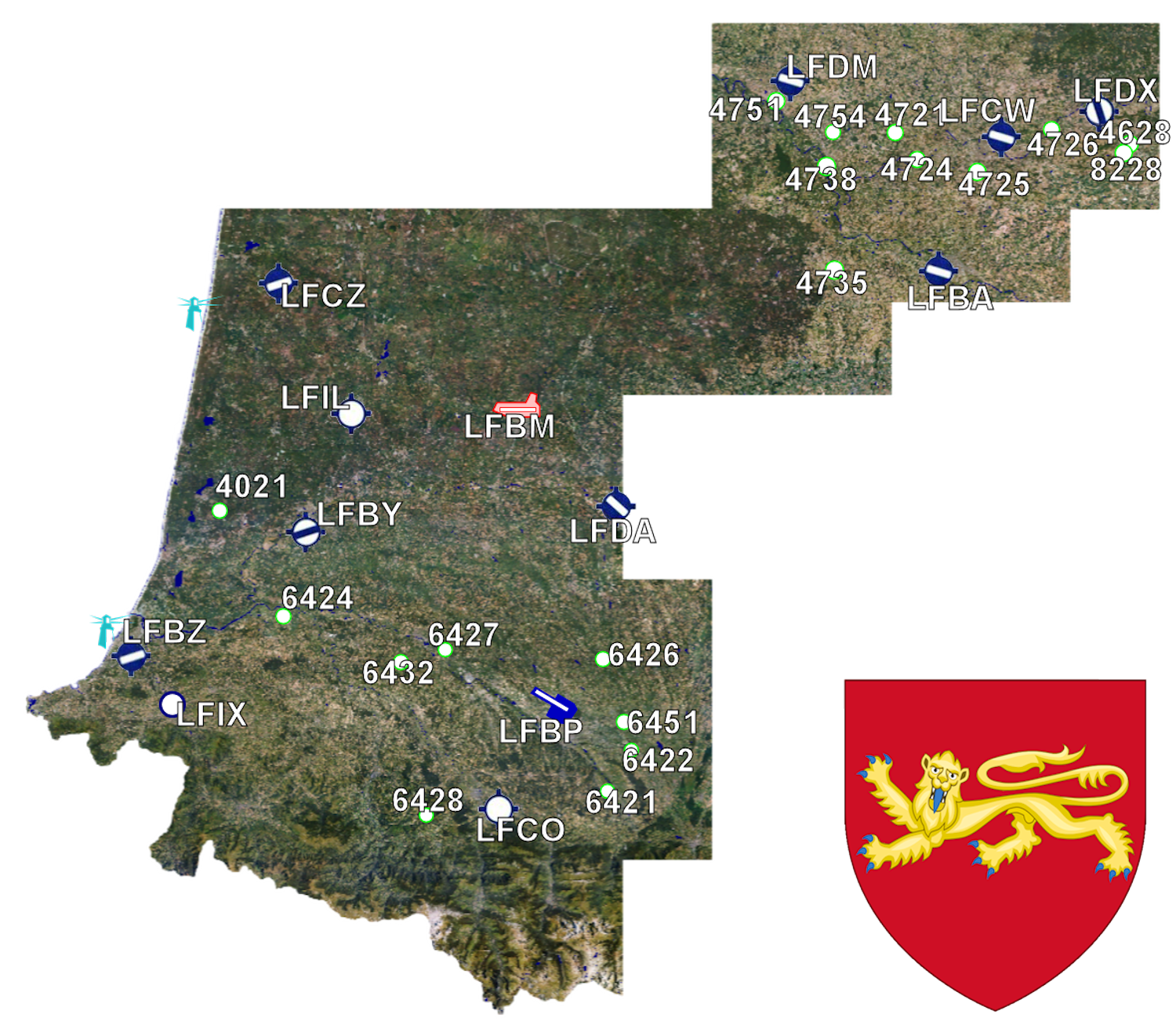
Here is the scene coverage map as well as the various aerodromes / airports / ULM bases.
La technologie déployée dans ce produit requiert une configuration dotée d'au moins 4 Go de RAM et 1Go pour la carte graphique pour fonctionner de façon satisfaisante. Toutefois, pour pouvoir profiter au mieux de la totalité des fonctionnalités, il est nécessaire de disposer de 8 Go de RAM et de 2Go pour la carte graphique sous un OS 64bits. Ces pré-requis ne sont pas directement liés à la notion de fluidité mais plutôt à la quantité extrêmement importante d'objets.
You might also like
Photo-realistic scene representing the South Aquitaine region in high definition textures of 1 meter / pixel, very high definition mesh 4.75 meters, full autogen and 3D coverage, numerous objects and VFR landmarks (lighthouses, bridges, ports, anchorages, wind turbines, pylons, monuments ...), extremely detailed port areas. “VFR Regional” products benefit from all the contributions of 3DAutomation® technology developed by France VFR. This technology already makes it possible to implement the most dense and realistic environments ever designed. It does not claim to represent reality precisely but to give it the most realistic possible interpretation on a very large scale. It may eventually evolve to adapt to needs and to the new data available. Seabed modeled over the entire scene.